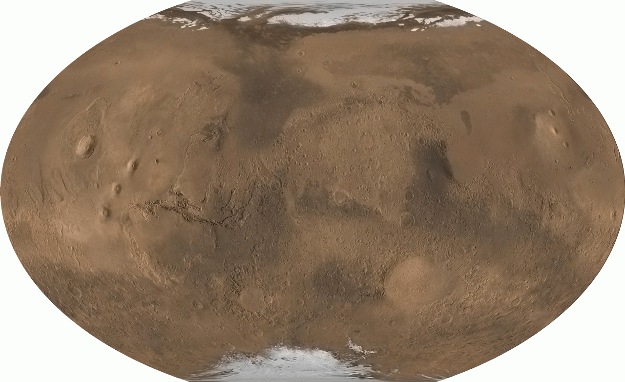
This map of Mars was produced in a collaborative effort by the Mars Global Surveyor MOLA and MOC teams for the National Geographic Society. It is an image of Mars that incorporates over 200 million laser altimeter measurements from MOLA and about a thousand wide-angle images from MOC. The altimetry accentuates details on the surface not visible in images due to the dusty atmosphere of Mars, and the image data provides realistic color. The image projection is Winkel-Tripel. (Image Credit: National Geographic Society, MOLA Science Team, MSS, JPL, NASA.)