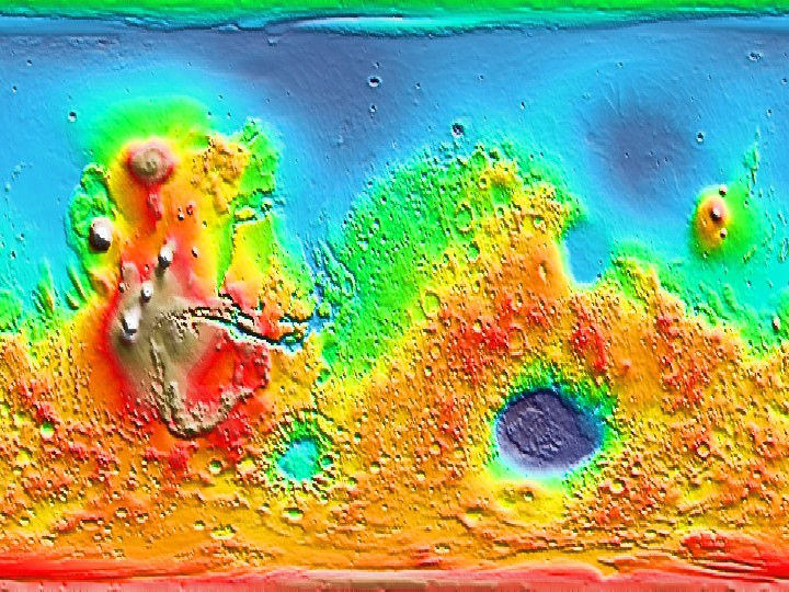
Stretched CED Color from 180°W to 180°E
(Credit: MOLA Science Team)
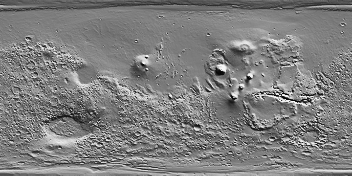
The MOLA shaded relief images are suitable for use as a background map for publication-quality graphics. The grayscale maps are produced as a gradient from 30° clockwise from the top of the rectangle, then normalized by an arctangent function. These maps subsequently are merged with topographic color contours to produce images using the Generic Mapping Tools (GMT) free software of Wessel and Smith.
Technical information on the production of MOLA shaded relief maps can be obtained from:
Neumann, G.A., D.D. Rowlands, F.G. Lemoine, D.E. Smith and M.T. Zuber, Crossover analysis of MOLA altimetric data, J. Geophys. Res., 106, 23,753-23,768, 2001.

CED Grayscale from 0 to 360°E
(Credit: MOLA Science Team)
Stretched CED Color from 180°W to 180°E 
Polar stereographic 54°N
Polar stereographic 54°S
Polar stereographic 54°N grayscale shaded from 030°
Polar stereographic 54°S grayscale shaded from 030°
Polar stereographic 72°N grayscale shaded from 030°
Polar stereographic 72°S grayscale shaded from 030°