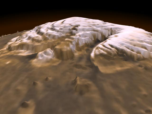
On January 31, 2001, Mars Global Surveyor completed its primary mapping mission of Mars. The mapping mission consisted of the spacecraft observing Mars continuously for one full Mars year (687 days), in order to globally map the planet and monitor seasonal changes. NASA has recognized the importance of MGS's contribution to Mars science and approved extended, and extended-extended (E2) missions that follow the mapping mission. In light of the end-of-mapping mission milestone, the MOLA Science Team collectively looked back at the scientific advances enabled by MOLA observations and made a list of the "top 10". Those of you who know personally the members of the MOLA Team will be shocked to learn that there was almost no argument about the items on the list, which are presented in no particular order.
(1) The most accurate global topographic map of any planet in the solar system, including a two-order-of-magnitude improvement in the geodetic grid (latitude/longitude system) of Mars.
(2) Recognition of the flat northern hemisphere of Mars.
(3) The pole-to-pole slope and Tharsis control the shape of the planet.
(4) Detection of buried basins beneath the northern hemisphere plains that has clarified the large impact basin population and the age of the northern hemisphere crust.
(5) The first reliable inversion for the crustal structure of Mars (using both MOLA and MGS gravity data from the Radio Science Experiment).
(6) Establishment of the pathways for the flow of past water and the locations, sizes, and volumes of watersheds.
(7) All craters greater than a few kilometers in size display ramparts, indicating that water was pervasive in the Martian subsurface.
(8) Present-day surface water inventory from polar cap/layered terrain volumes.
(9) Detection of the heights of clouds and identification of dynamical features in the atmosphere, such as gravity waves.
(10) Seasonal changes in the height of the Martian surface (aka, snow depth) that represented the first direct global measurement of the amount and distribution of condensed CO2.