 |
National Aeronautics and Space Administration Goddard Space Flight Center |
SEARCH NASA |

 MOLA MOLA |
January 19, 2000
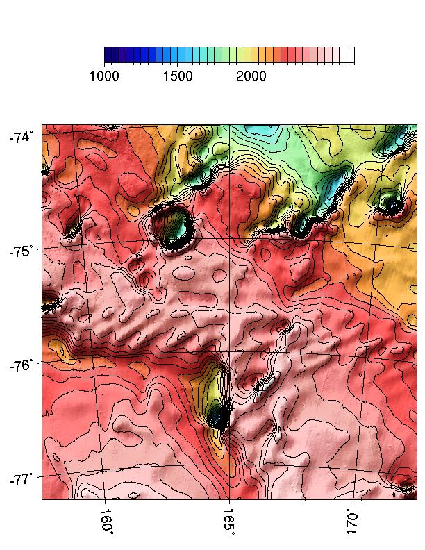
In support of efforts to determine the fate of the Mars Polar Lander, the MOLA Science Team is providing updated information on the topography and surface roughness of the landing site to the MPL Failure Board. The above image shows the topography of the site constructed from all MOLA data collected through December, 1999. The plus sign below the center of the chart represents the current best estimate of the landing location assuming nominal execution of the entry, descent and landing phase of the MPL mission. Elevations are in given in meters and the contour interval is 50 m. South is toward the bottom of the map. (Credit: MOLA Science Team)
Return to the MOLA Science homepage